WFP map identifies road access challenges across South Sudan
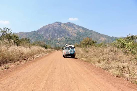
Credit: WFP
A new logistics assessment has identified roads across South Sudan that remain difficult or impossible to use, underscoring ongoing challenges for humanitarian operations and the delivery of aid.
The World Food Programme’s Logistics Cluster on July 31 released an updated Physical Access Constraints Map classifying roads nationwide as passable, passable with difficulties or not passable based on their physical condition.
The map shows that while many major transport routes remain open, numerous roads continue to face access constraints that could complicate the movement of humanitarian supplies and personnel, particularly in remote areas.
The assessment also indicates that last-mile deliveries by Land Cruiser remain possible in many locations, allowing aid agencies to reach communities where larger vehicles may be unable to travel.
The Logistics Cluster said the map is intended to show only the physical condition of roads and does not reflect security conditions, political developments or other factors that may affect access.
The assessment was produced by the WFP Logistics Cluster GIS Unit using information from humanitarian partners, including the International Organization for Migration, the U.N. Office for the Coordination of Humanitarian Affairs, UNOPS, UNMISS and Mission Aviation Fellowship, to support operational planning across South Sudan.